Streamline your productive workflow
Effortless management of everything you copy
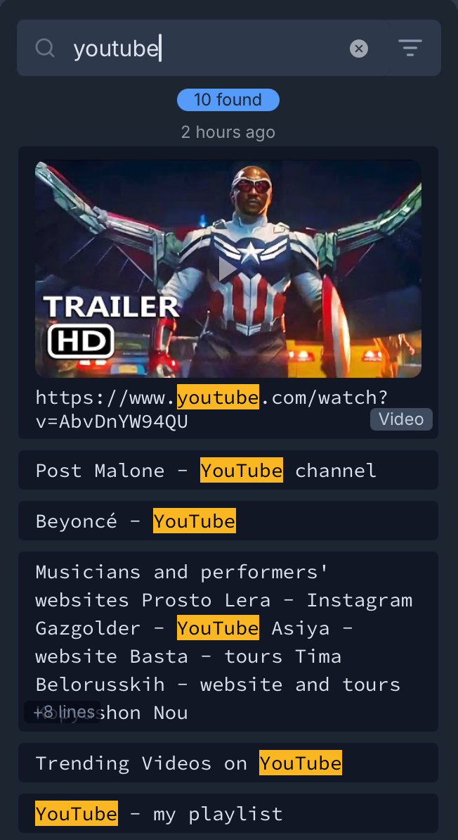
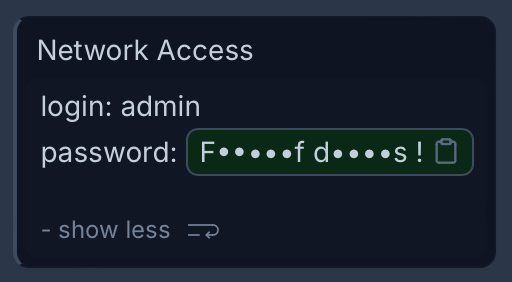
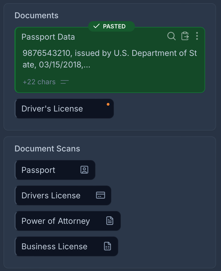
Enjoy unlimited clipboard history, saved custom clips, and quick-access paste menus. Organize and track everything you copy and paste using collections, tabs, and boards. With modern interface and intuitive features ensure easy access to your copy history and your most important content — all in one place. Privately and securely stored on your local device.
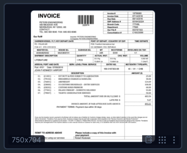
- Unlimited, searchable copy history
- Saved custom clips
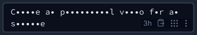
- Quick-access paste menus
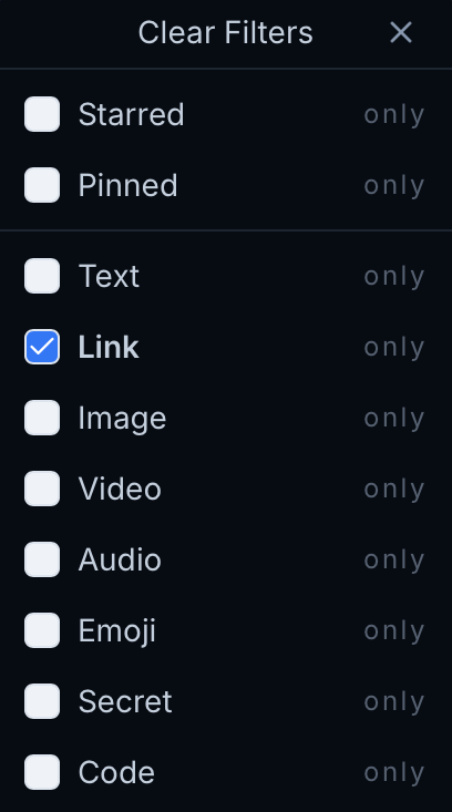
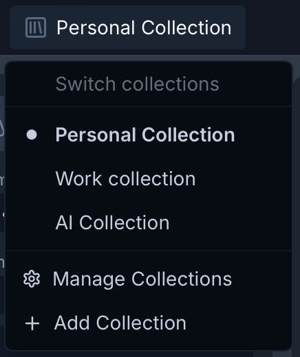
- Collections, tabs, and boards to organize most important content
- Organize and track everything you copy and paste
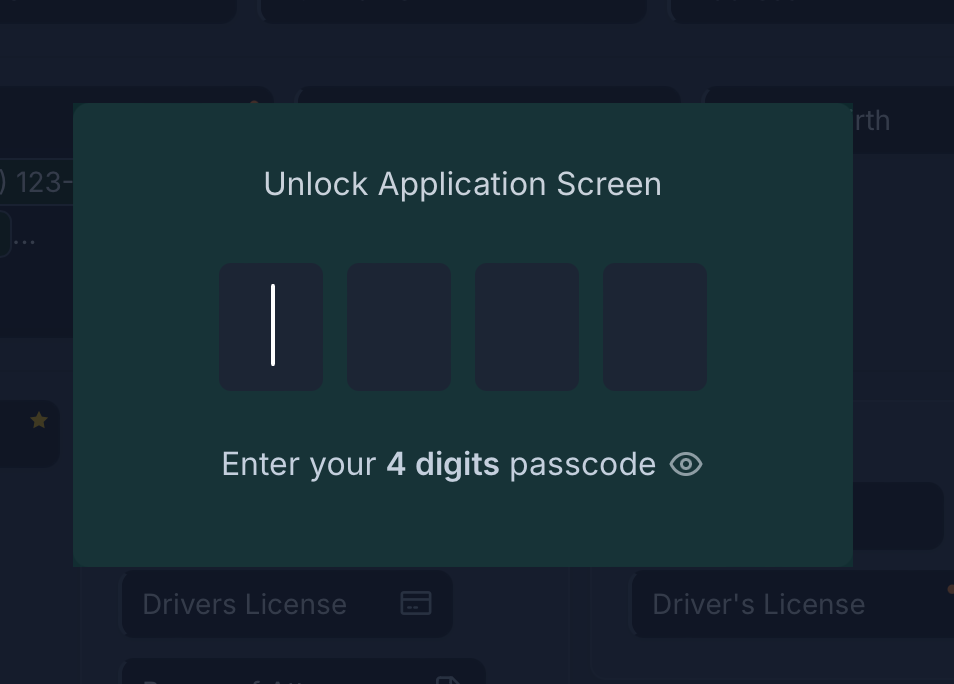
- Locally stored data for privacy and secure access
- Free and open source with code available on Github
- Modern interface